Ru
|
Eng


Ultra-high spatial resolution Earth probing data provider now available in Belarus
14.07.2014
A Belarusian provider of ultra-high spatial resolution remote Earth probing data is now available in Belarus, the press service of the State Property Committee of Belarus told BelTA.
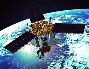
The Committee in association with the Belarusian agricultural aerial phototopography enterprise BelPSHAGI has commissioned a digital topographic widescreen aerial scanning sensor ADS100 made by the Swiss company Leica Geosystems AG. Now BelPSHAGI is Belarus’ only provider of ultra-high spatial resolution remote Earth probing data.
The Committee explained that using the new digital aerial photo camera BelPSHAGI will be able to supply remote Earth probing data with the spatial resolution starting at 4cm per pixel of the image. The device is fitted with spectral rulers of 20,000 pixels across the route. The feature will greatly improve the productivity of aerial photography operations that can be performed both in Belarus and abroad.
The data the digital aerial photo camera will produce will be used by land-surveying and forest-surveying services, for topographic, geodesic, engineering, pioneering operations as well as for producing detailed textured 3D models of an area. Apart from that, the data can be used to prevent emergencies and for environmental protection purposes. They will also be used to create ultra-high and high resolution orthophoto mosaic images for creating geoinformation systems by various agencies, enterprises, and other interested parties.
According to the source, the personnel to operate the aerial photo camera have been trained already. The camera itself has been tested. The quality of remote probing data that has been acquired as a test will allow fulfilling the technological tasks involved in building a common platform as a basis for creating geographic information resources, stressed the representatives of the State Property Committee.
SCIENCE. TECHNOLOGY. INNOVATIONS
13.08.2024
28.06.2024
28.06.2024
25.06.2024
05.06.2024
15.05.2024
15.05.2024
26.04.2024
26.04.2024
26.04.2024